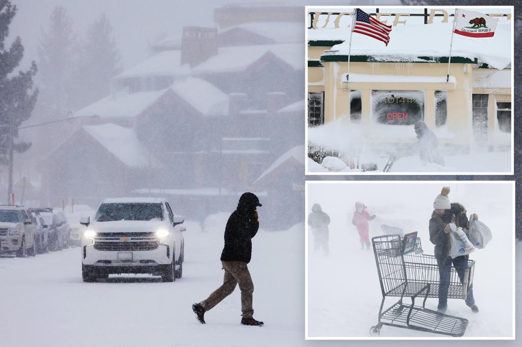
Unrelenting Winter Fury in Sierra Nevada
The Sierra Nevada mountains are currently grappling with a severe blizzard that has already deposited significant snowfall and is forecast to continue doing so until Sunday. This storm is bringing not only substantial snow but also powerful gusts, leading to white-out conditions that have necessitated the closure of key attractions and infrastructure, including national parks, ski resorts, and segments of major highways in California.
Dire Predictions and Ongoing Challenges
According to meteorologist William Churchill from the National Weather Service, the region could see up to 10 feet of snow in the higher elevations, posing life-threatening risks for those in the Lake Tahoe area. The snowstorm is expected to intensify by Sunday evening, with an additional system, albeit weaker, set to follow from Monday to Wednesday, potentially complicating recovery efforts with an expected one to two feet of new snowfall.
Extended Impact and Community Response
Despite the storm’s peak anticipated to pass by Sunday evening, the aftermath could last much longer, affecting a vast area from California to Colorado with wind gusts over 50 mph. The National Weather Service has issued winter advisories for nine Western states, warning of extremely heavy snowfall that could total up to 12 feet by mid-week. The community remains on high alert, with extensive power outages and significant avalanche risks, highlighting the severe nature of this winter storm’s impact on the region.
\ Get the latest news /